littlechucky
Crew Member
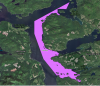
I have played around with the maps.
Is there a legend which states that “recreational tourism” means recreational fishing is allowed?
When you drill down on each area and look at what is permitted within the specific area, I don’t see anywhere that clearly identifies fishing as permitted (or not permitted for that matter).
I am missing something?