Local Flooding

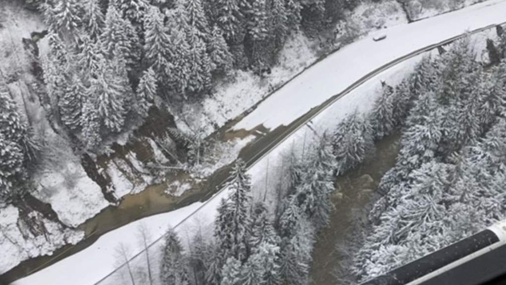
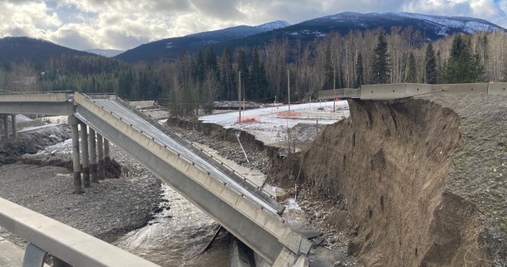
Repairs to B.C.’s Coquihalla Highway will take months, especially during winter: province​


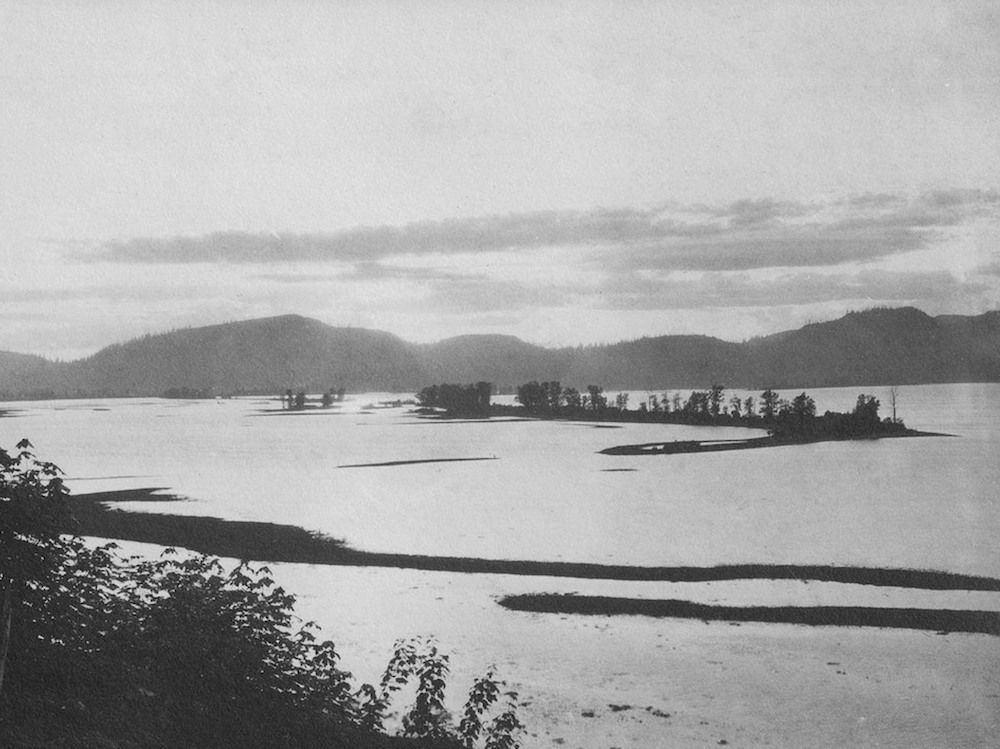
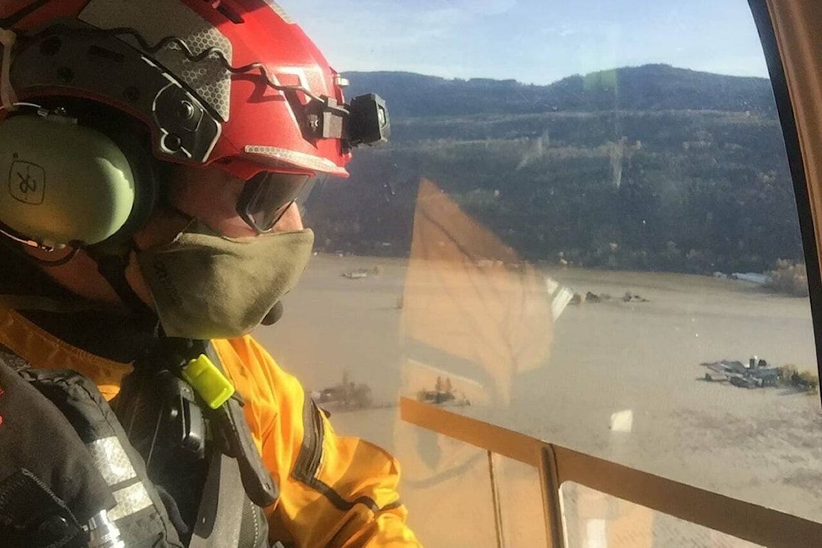
'We are not out of this by a long shot': Up to 100mm of rain forecast for British Columbia​


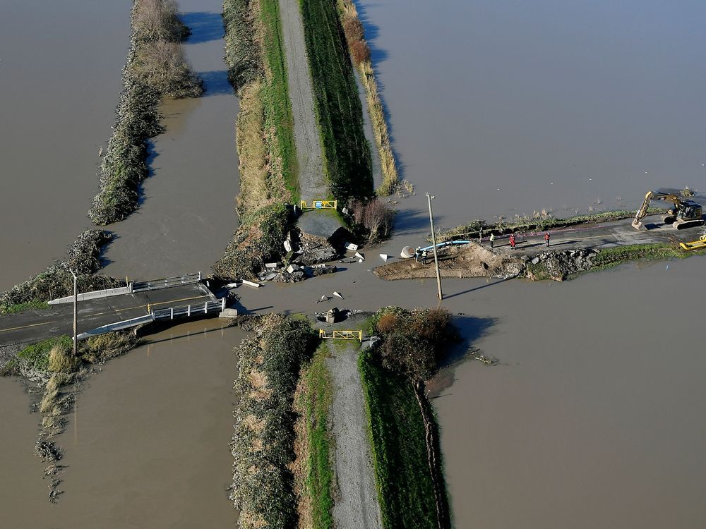
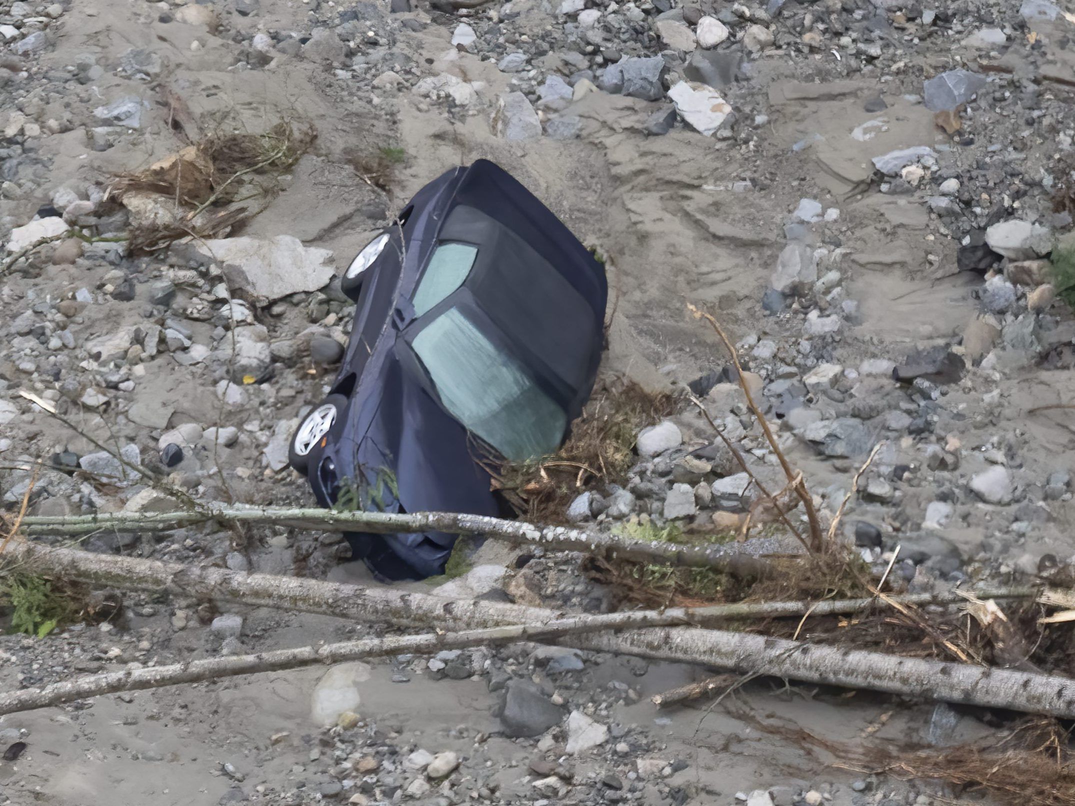
Cleanup and recovery of property, livestock and infrastructure begins in British Columbia


B.C. limits gas purchases to 30L per visit in southern region as flooding impacts supply​

B.C.’s public safety minister has enlisted two new provincial orders amid concerns of gas shortages in the province due to the devestating floods that hit southern B.C. this week.

In a news conference Friday (Nov. 19), Public Safety Minister Mike Farnworth announced that non-essential travel will be restricted on all highways impacted by washouts.

This means that highways impacted will be only open to those travelling to get home, as well as commercial and emergency vehicles.

Highways include:
  • Highway 99: from the junction of Highway 99 and Lillooet River Road to the BC Hydro Seton Lake Campsite access in Lillooet. Only passenger vehicles and commercial vehicles up to 14,500 kilograms will be permitted.
  • Highway 3: from the junction of Highway 5 and Highway 3 in Hope to the west entrance to Princeton from Highway 3.
  • Highway 7: from the junction of Highway 7 and Highway 9 in Agassiz to the junction of Highway 7 and Highway 1 in Hope.
Meanwhile, the public will be limited to purchasing 30 litres of gas per visit to gas stations in southwest B.C., Vancouver Island and Sunshine Coast.

Farnworth said there is a reduced but steady supply of gas and province is working with the feds to import gasoline in new ways.

“Carpool, share with a friend, walk, use alternative methods,” Farnworth said, adding to be kind to others.


KeRist!!
 
Great article about the fraser valley and the lake that once was. By Tyler Olsen - F.V. Current

A drained lake, a re-routed river…
Thanks for sharing this. Now I understand the geography. It's an unusual and complex piece of river topography, a side pond or bayou that the Fraser uses from time to time as a flood overflow. And occasionally the Nooksack reverts back to its old course. Water comes at the Prairie from two directions, all while it is being kept dry by constant pumping.

Then in the middle of it all we plunk down agricultural activities which go on to develop some of the highest values in the national agribusiness scene. Throw in an international border and you have a very complicated tangle of threads and stakeholders.
 

Mayor Braun and City Emergency Officials November 21 2 PM Press Conference​


Route out of southern B.C. closed again due to washout​

A main route out of southern British Columbia is closed again due to a washout, officials say.

Highway 3 is closed in both directions between Hope and Princeton. An assessment is in progress, but there is currently no estimated time of reopening.

The route also known as Crowsnest Highway had only just reopened.

Jeeeeesus
 
Anyone think this will have any effect on long term Real Estate prices in the flood zones?
 

Ok. Draining Sumas Lake was a bad idea and they were not prepared well enough.

What about:
Hwy 1
Hwy 3
Hwy 5
Hwy 99

The deaths and damage the government's fault for not being prepared? ... I think whatever occurred is beyond government disaster planning and may have a wee bit to do with the changing climate.
 
Wow! News flash if you would have listened to climate scientists for the last 30 years you would already know that the problem is that we have tons of infrastructure that isn't designed to withstand climate crisis fueled weather events.
 
I think we also need to shine a light on the logging practices in our watersheds. Most of our headwaters are completely butchered. Any rain we get now just goes straight into the flows, there is no gradual release of water that occurs in healthy watersheds. The Vedder is a perfect example of this.
Norrish, Chehalis the list goes on.

I think this event will be the norm that will be happening more frequently.

That combined with fires in other areas, just nowhere to go but straight into the river.
 
Back
Top