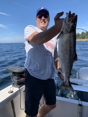
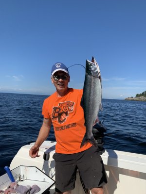
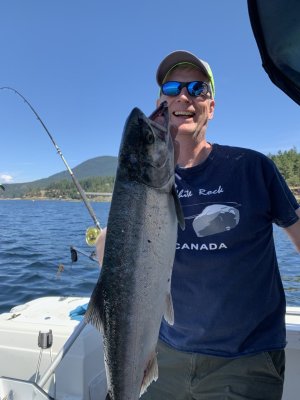
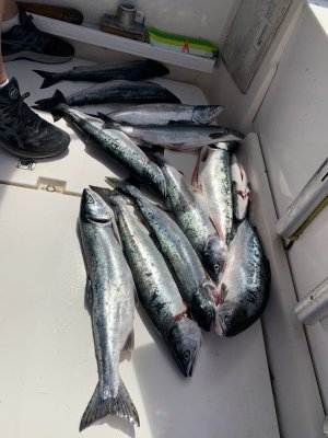
Aquaholic
Crew Member
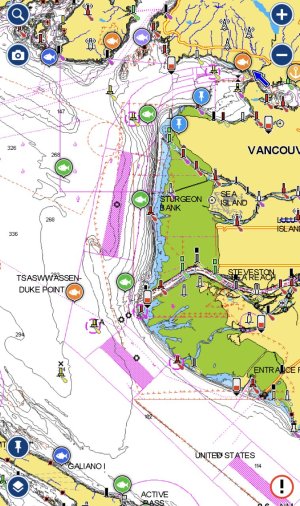
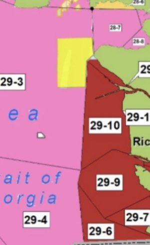
Yes, Sandheads would be foaming.Yeah 29-3 to 29-5 is open…. Except the massive portion east of Shah to Gower. So it’s basically closed except near Thrasher.
Or else we’d all be at Sand Heads now…. They need to redraw the sub area boundaries this is really dumb.
28-6 is all there is for our area today.