
You are using an out of date browser. It may not display this or other websites correctly.
You should upgrade or use an alternative browser.
You should upgrade or use an alternative browser.
Iphone app for charts
- Thread starter Heavyc
- Start date
Oglthorpe
Active Member
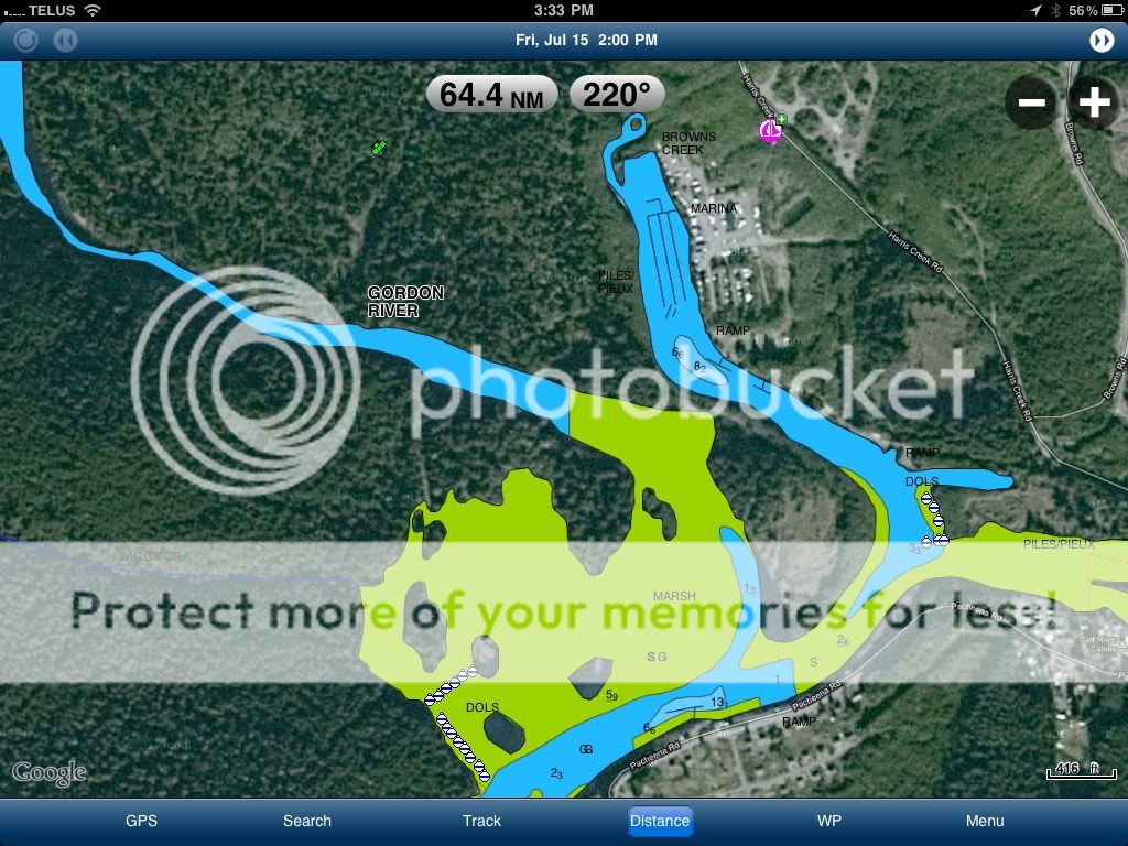
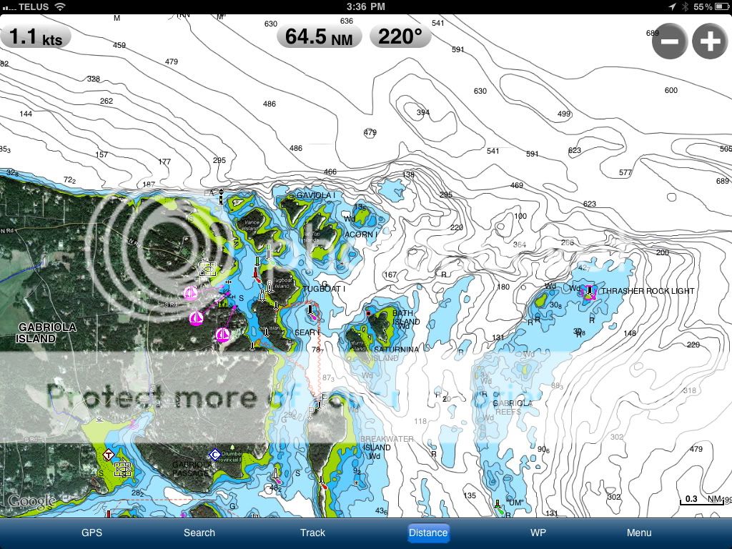
Yes it is the US and Canada marine and lakes. Best $15 I have spent. Basically you choose the area you want to download charts for. It downloads to your phone so you can use it when there is no cell reception. I like that it has bathymetric charts for most lakes too. Even a lot of the smaller ones.
eastpoint
Active Member
Navionics iApp
Yup
I am a big fan too.
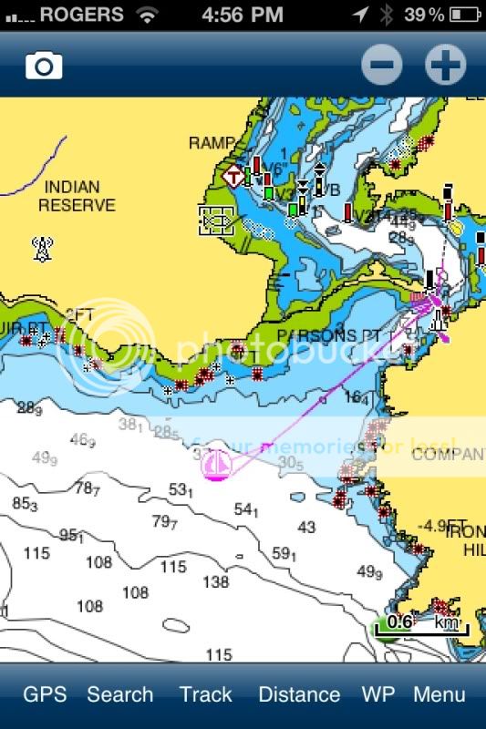
Try taking photos in this app. It can Geo-tag them with the GPS coordinates. Then you can touch and hold over photo icon on chart, then press Distance to see direction and distance from where you currently are. Great for the BIG SLAB photo or when tossing out traps.
Also nice to do trip and fuel burn estimates when you are planning a trip.
It is not really set up for navigation but it will do what you want usually. A great back up that is independent of boat system.
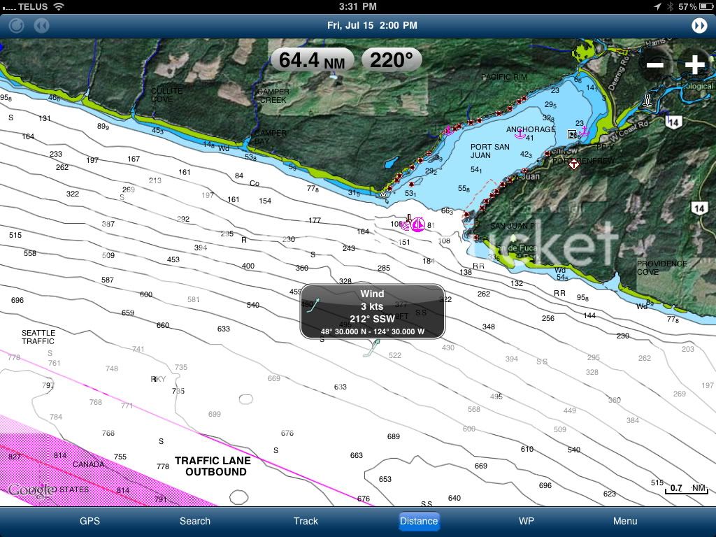
It would be nice if there was and Ipad version too. IT will run on a Ipad but does not have high resolution display. Very good value for the money.

Eastpoint
Yup
I am a big fan too.
Try taking photos in this app. It can Geo-tag them with the GPS coordinates. Then you can touch and hold over photo icon on chart, then press Distance to see direction and distance from where you currently are. Great for the BIG SLAB photo or when tossing out traps.
Also nice to do trip and fuel burn estimates when you are planning a trip.
It is not really set up for navigation but it will do what you want usually. A great back up that is independent of boat system.
It would be nice if there was and Ipad version too. IT will run on a Ipad but does not have high resolution display. Very good value for the money.
Eastpoint
Highliner
Well-Known Member
It would be nice if there was and Ipad version too. IT will run on a Ipad but does not have high resolution display.
Eastpoint
I'm pretty sure there is an HD Ipad version. I just checked and wow have the prices gone up. The ipad version used to be $20. I got my iphone app for $10.
lordofthesprings
Well-Known Member
when you put this on your phone could you also look at the charts and print them out on the Imac computer ?
Hoops
Crew Member
Hey lordofthesprings,
Try taking a screenshot. Hold the home button for a second and then press the power button. The screen will flash white and the picture will show up under photos. From there you can print it out. Unfortunately I don't know any way to view the app on the computer.
Try taking a screenshot. Hold the home button for a second and then press the power button. The screen will flash white and the picture will show up under photos. From there you can print it out. Unfortunately I don't know any way to view the app on the computer.
Similar threads
- Replies
- 0
- Views
- 578